

Bounds -180, -90, 180, 90
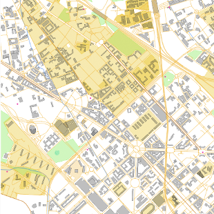
OpenStreetMap vector tiles
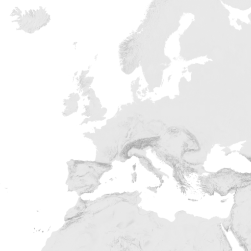
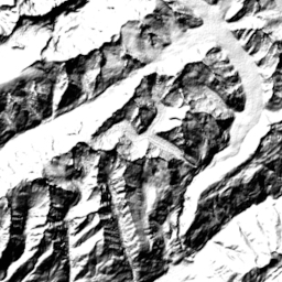
Hillshading raster tiles
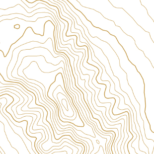
Contour lines vector tiles
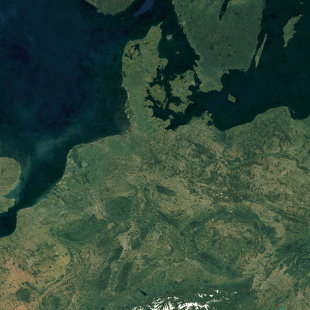
Satellite 2021 raster tiles
Satellite 2016 raster tiles
Terrain RGB
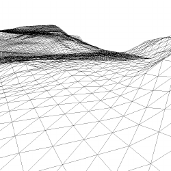
Terrain 3D - Cesium quantized mesh
MapTiler Planet Lite
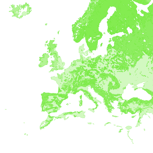
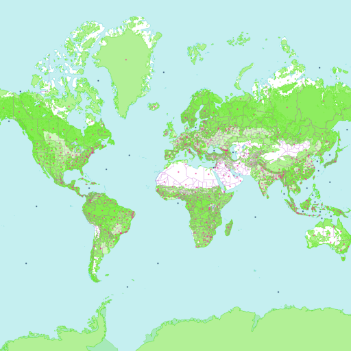
Landcover
Satellite Highres raster tiles
The OpenStreetMap vector tiles are made with our open-source software released at OpenMapTiles.org. The raster tiles are rendered with MapTiler Engine.
Check the news and changelog.