Map styles for any use case
Design and customize your own maps
Create powerful apps with our versatile SDK
Powerful map searching and geocoding services
Enrich maps with your own data
Secure self-hosted mapping solutions
Bounds 19.11666, 53.12575, 22.82058, 54.49474
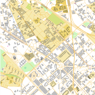
OpenStreetMap vector tiles
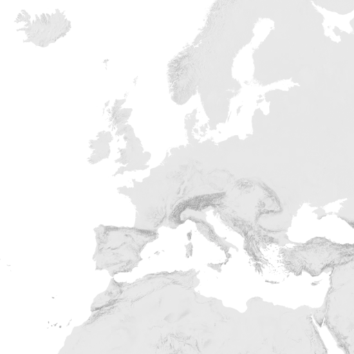
Hillshading raster tiles
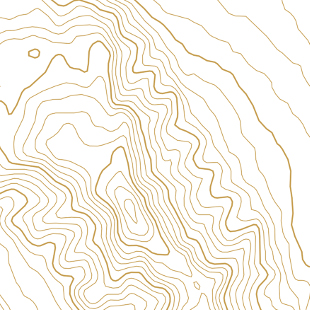
Contour lines vector tiles
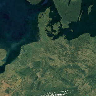
Satellite 2016 raster tiles
Satellite Highres raster tiles
You can easily host and serve our tilesets with MapTiler Server.
Available on:
The OpenStreetMap vector tiles are made with our open-source software released at OpenMapTiles.org. The raster tiles are rendered with MapTiler Engine.
Check the news and changelog.